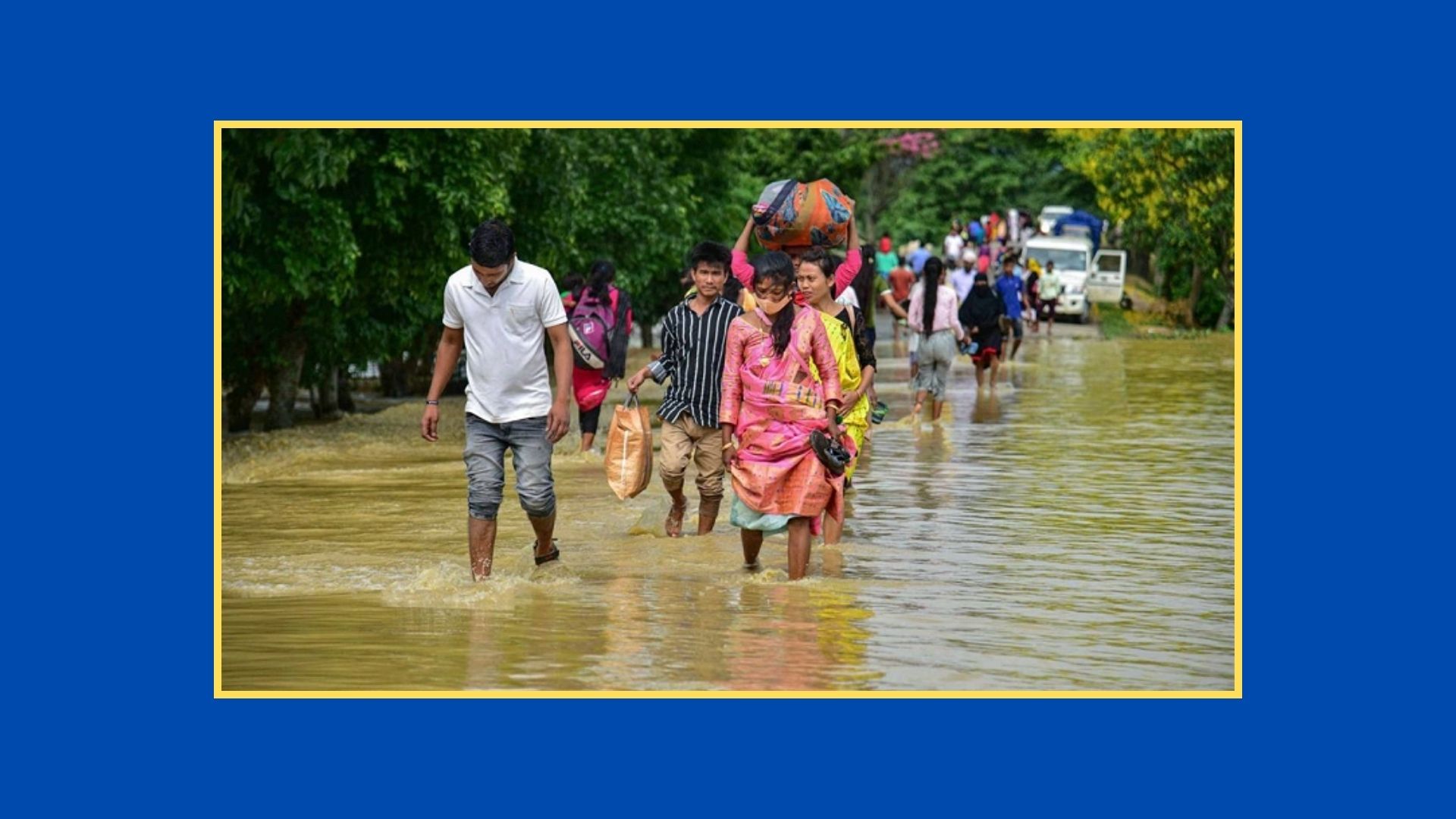
Another Flood Warning Amidst Ongoing Floods: Areas at Risk of Submersion
Before the impact of one of the most devastating floods in the country's history in August has even subsided, concerns are rising about another possible round of flooding. The Meteorological Department has forecast further floods in some regions of the country in September. Additionally, moderate thunderstorms may occur in the northern and central parts of the country.
This information was provided in the long-term weather forecast released by the department on Sunday (September 1).
Meanwhile, isolated mild heatwaves (36-38 degrees Celsius) may sweep across the country once or twice. The daytime and nighttime temperatures this month could remain slightly higher than normal.
Meteorologist Dr. Md. Sadequl Islam informed the media that there is a likelihood of normal rainfall in the country this month. One or two monsoon low-pressure areas may form in the Bay of Bengal, one of which could develop into a monsoon depression.
He further added that there is a possibility of moderate thunderstorms for two to three days in the northern and central regions of the country, and light thunderstorms for three to five days across the country. Short-term flooding could occur in some areas in the northern, northeastern, and southeastern regions due to heavy monsoon rainfall in September.
Meanwhile, the Meteorological Department has forecast rain for all 8 divisions of the country. They also mentioned that both day and night temperatures might slightly decrease across the country.
These details were provided in the weather forecast for the next 72 hours from 6 PM on Sunday (September 1). It mentioned that as the monsoon depression formed in the Bay of Bengal crossed the North Andhra-South Odisha coast early Sunday morning, the warning signals at Bangladesh's seaports have been lowered.
The forecast stated that the monsoon depression, which was located over the western-central Bay of Bengal and the adjacent northwestern Bay of Bengal near the North Andhra-South Odisha coastal area, moved northwestward and crossed the North Andhra-South Odisha coast. It is currently located as a land depression over South Odisha and the surrounding areas. It may weaken gradually as it moves further northwest. The extended axis of the monsoon trough extends from Rajasthan, Madhya Pradesh, through the center of the depression, Gangetic West Bengal, and Bangladesh to Assam. It was also mentioned that the monsoon is less active over Bangladesh and moderate over the northern Bay of Bengal.
For the 24-hour period from 9 AM on Monday (September 2), light to moderate rain/thundershowers with gusty winds may occur in many places in the Rangpur, Dhaka, Mymensingh, Chattogram, and Sylhet divisions, and at some places in the Rajshahi, Khulna, and Barishal divisions. Additionally, moderate to heavy rainfall is possible in some places across the country, and daytime and nighttime temperatures are expected to remain nearly unchanged.
The forecast further stated that for the 24-hour period from 9 AM on Tuesday (September 3), light to moderate rain/thundershowers with gusty winds may occur in many places in the Rangpur, Dhaka, Mymensingh, Chattogram, and Sylhet divisions, and at some places in the Rajshahi, Khulna, and Barishal divisions. Moderate to heavy rainfall is also possible in some places across the country, and daytime and nighttime temperatures might slightly decrease.
